I went online and met an old friend from high school, now studying and working in Japan. He’s been there for almost 7 years. Although he’s got a job in a reputable company over there, he told me that he will leave Japan and come back to Penang in 2 years time.
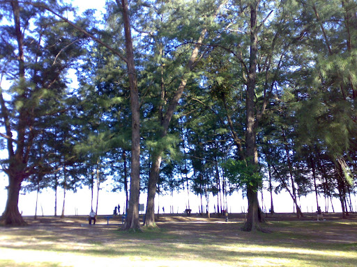
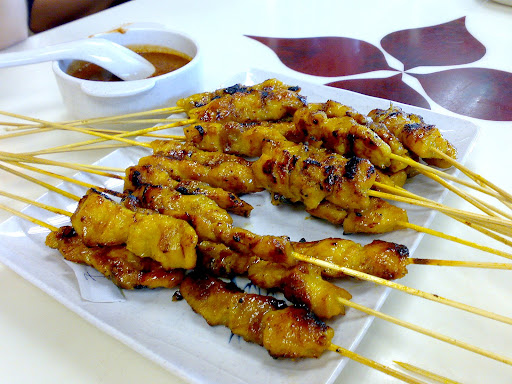
I guess no matter how good the lifestyle or salary other countries can offer, Penangites tend to come back to their hometown after living/working outside for sometime. I personally don’t think there will be a shortage of talents here, as there is always an opportunity for growth and development. Not to mention the food, heritage, beautiful beaches and hills, all under one roof (island).
Hmmm… I wonder why I’m still stuck in KL traffic jam right now…
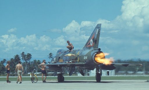 澳洲空軍(RAAF)駐紮在北海的空軍基地. Australian Air Force Base in Butterworth 60 s – 70 s
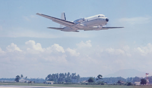 北海的空軍基地. Butterworth Australian Air Force Base 60s– 70s
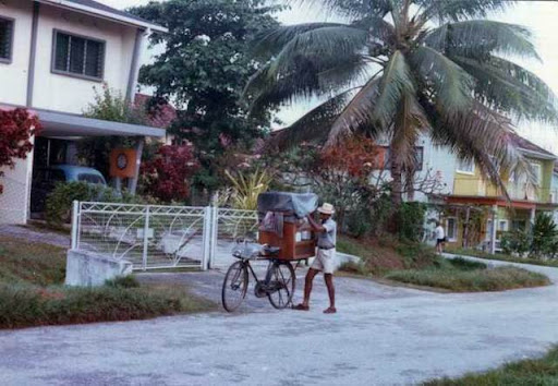
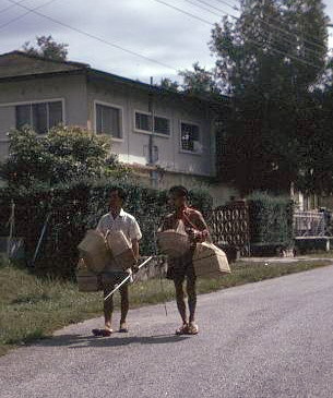
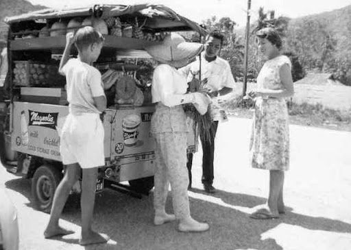 在澳洲軍人住宅處找生活的小販
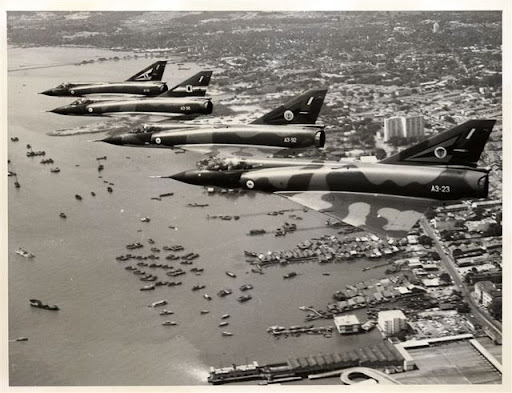 澳洲戰機在檳城上空. Australian aircraft on Penang air
 澳洲空軍家眷 Australian Military Family in Penang 60 s –70 s

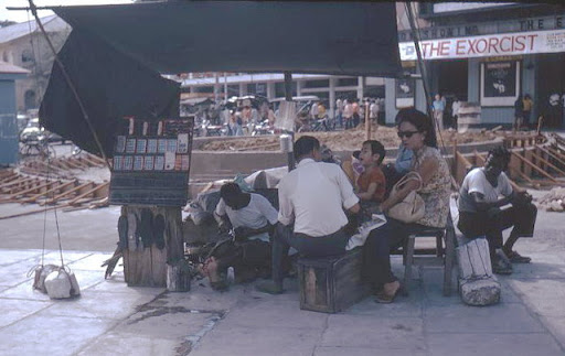 首都戲院前的補鞋匠 cobbler in front of capital cinema
 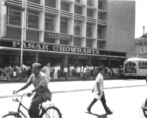 Penang Road 大巴剎 Penang Road Big Market
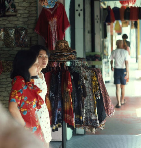 Penang Road 的女店員 Penang Road Sales Girls
 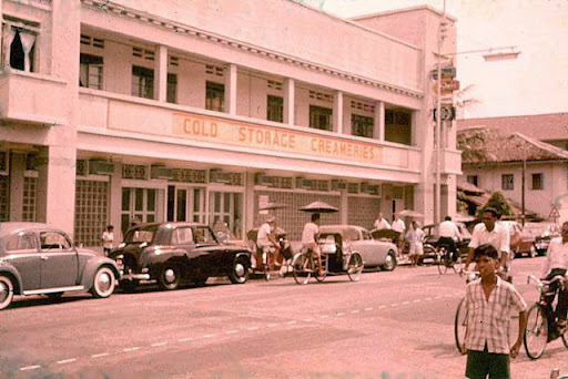 早期Penang Road 的Cold Storage 洋行是澳洲大兵的最愛 , Cold Storage in early Penang at Penang Road.
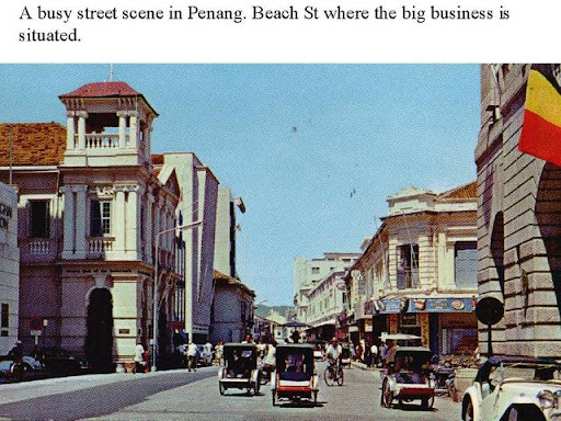 70年代繁忙的土庫街Beach St. 70th busy Beach Street.
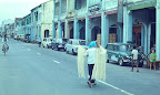
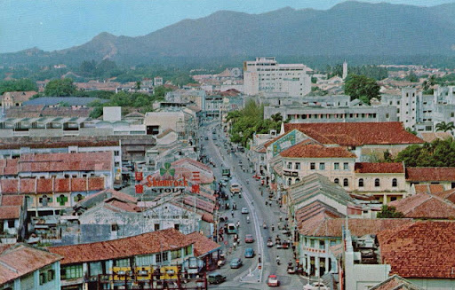 70年代的Penang Rd. 70th Penang Road
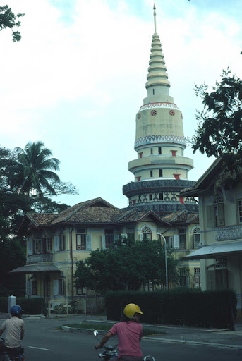
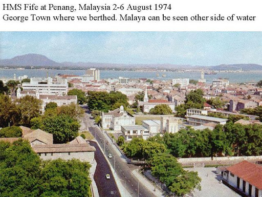 遠眺喬治市 GeorgeTown
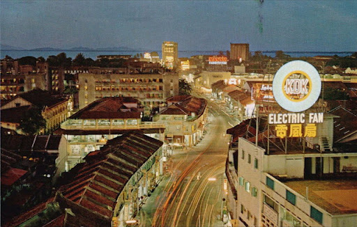 70年代的Penang Rd 夜景 70th Penang Road night scene
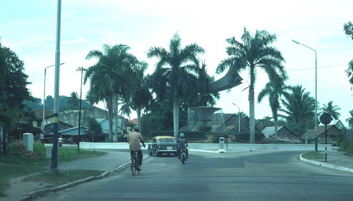
 Pulau Tikus 1970s
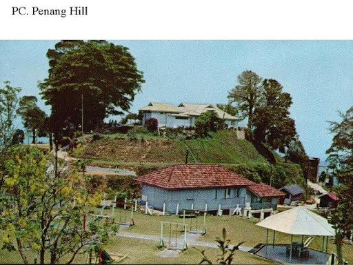
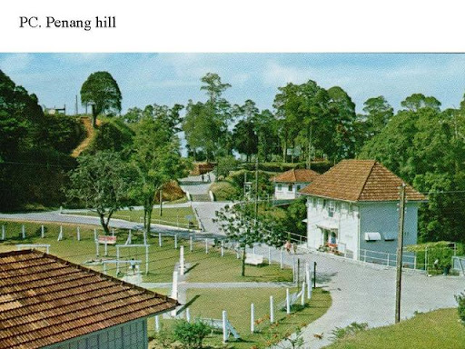
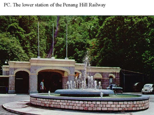 升旗山山腳1970s Penang Hill
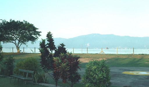 北海RAAF空軍基地看檳島 View of Penang Island from ButterWorth RAAF Air Force base
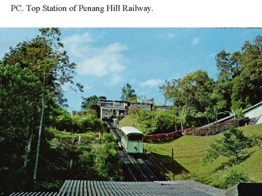


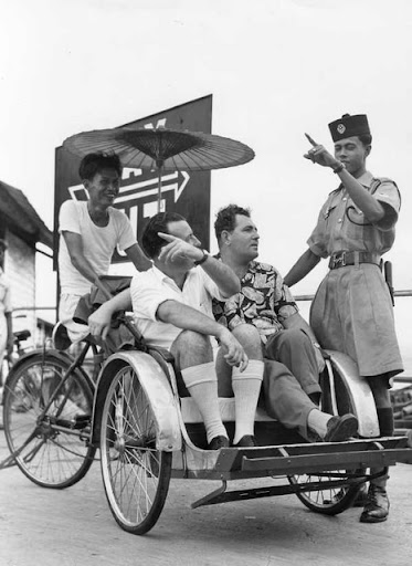
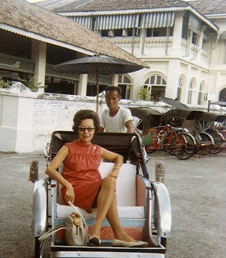 1960年代三輪車 1960s Trishaw
 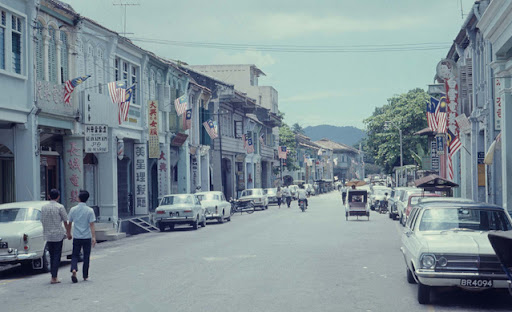 檳城喬治市1970年代的街景 70s GeorgeTown Penang